 source: http://www.mapsanddirections.us/projections.htm
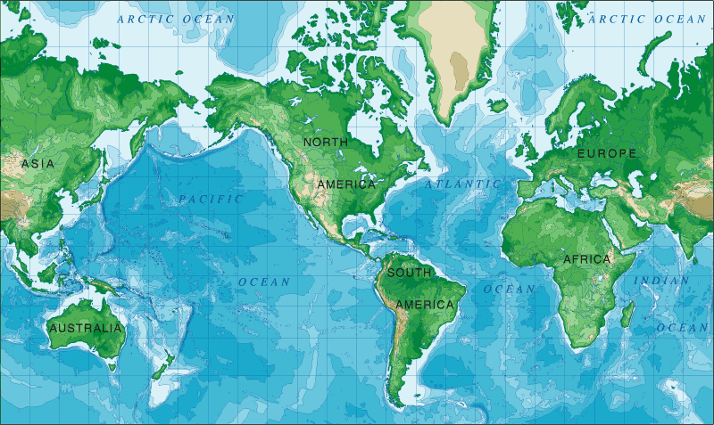
In 1569, Flemish cartographer/geographer Gerardus Mercator used a cylindrical map projection to represent the world. This projection preserves the angles and shapes of small objects but distorts the size and shape of large objects. All in all, it is a useful map for the purposes of nautical exploration.
No comments:
Post a Comment